
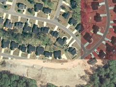
Building on the high-resolution imagery acquisition of 2004, Richland County has completed two county-wide digital orthophotography missions in the winter of 2006/2007 ("leaf-off") and the spring/summer of 2009 ("leaf-on"). The resulting imagery is used to update key infrastructure data layers (roads, buildings, etc.) and compare changes in landcover (trees, water, etc.). Similar to the 2004 digital aerial photography mission, the imagery acquisition process leveraged the latest digital imaging technologies such as inertial measurement and airborne GPS to ensure spatial accuracy. The updated imagery also includes color (RGB) and near-infrared (NiR) from one source. All aerial photography datasets are available for viewing on our Internet Mapping Service 2.0 accessed via the Mapping page.