- Maps & Data


Application Links
-
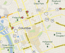
 https://www.richlandmaps.com/apps/dataviewer
 -
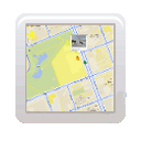
 https://www.richlandmaps.com/apps/geoinfo
 -

 https://www.richlandmaps.com/apps/compsales/
 -

 http://www.rcwinds.com/
 -
 https://www.richlandmaps.com/content/printable-maps
 -

 https://communitycrimemap.com/?address=RICHLAND%20County%20SC
 -

 https://sheriffalerts.com/cap_office_disclaimer.php?office=54084&fwd=aHR0cDovL3d3dy5zaGVyaWZmYWxlcnRzLmNvbS9jYXBfbWFpbi5waHA/b2ZmaWNlPTU0MDg0
Which IT/GIS web mapping application is your favorite?Internet Mapping62%Geo Info.17%Comparative Sales Analysis12%Web Map Service (WMS)8%Total votes: 1026 -